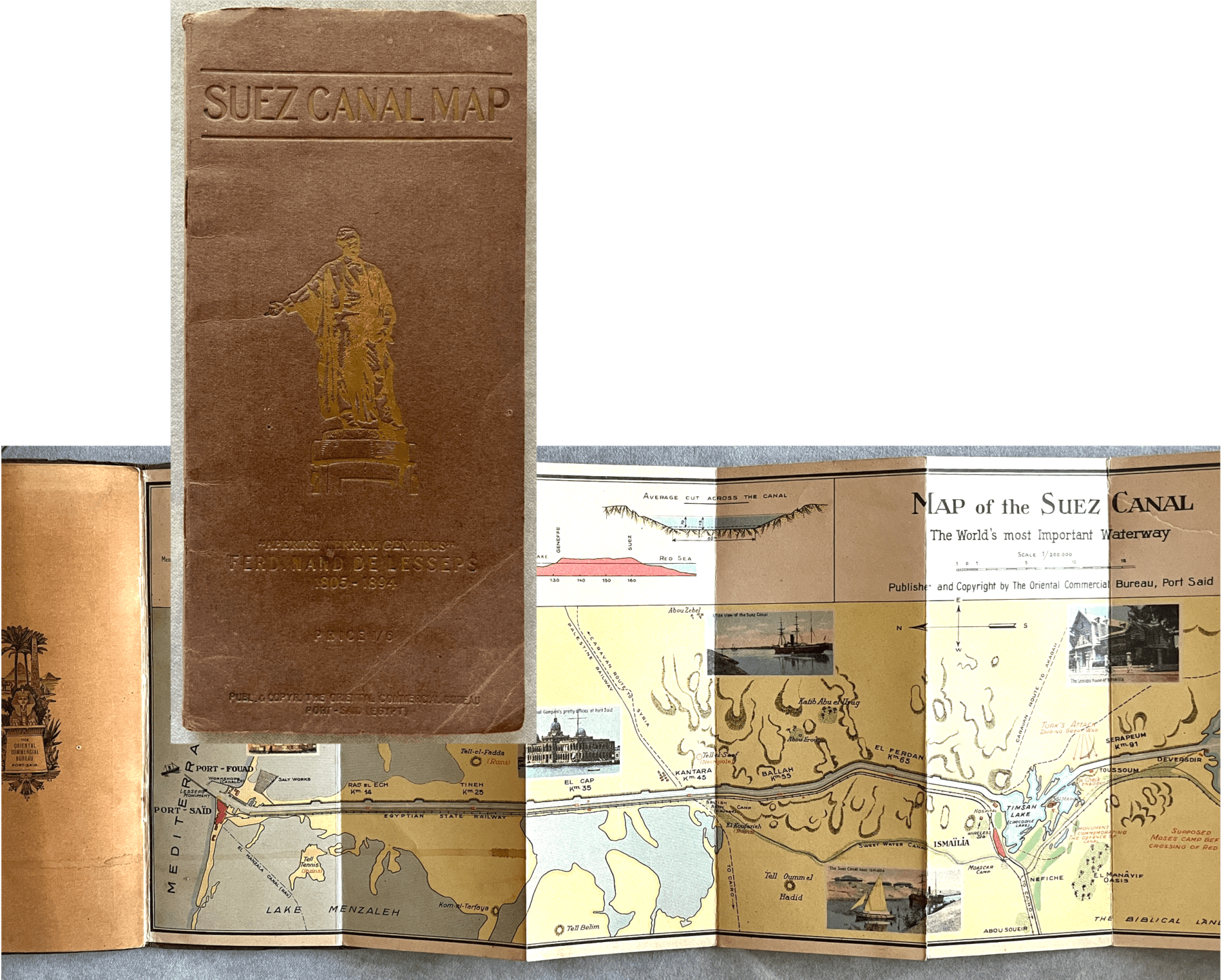
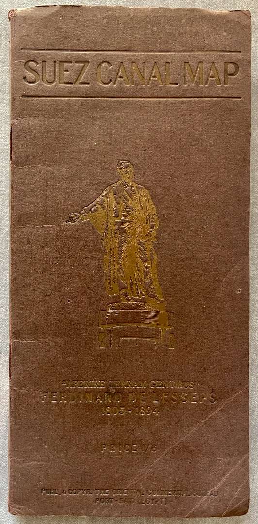
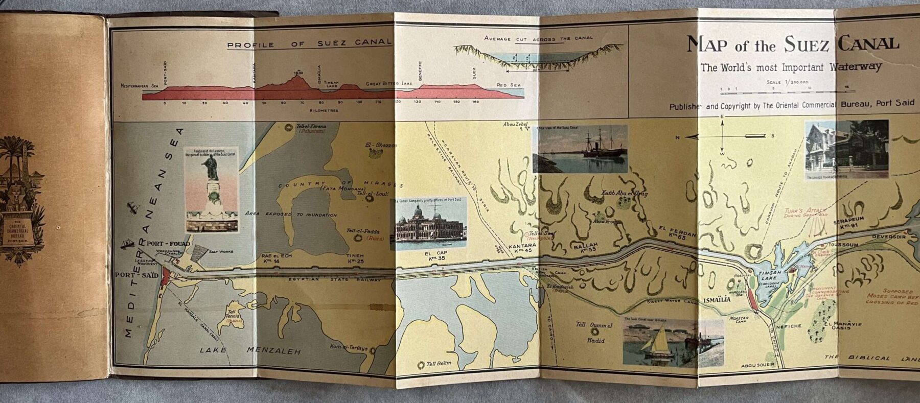
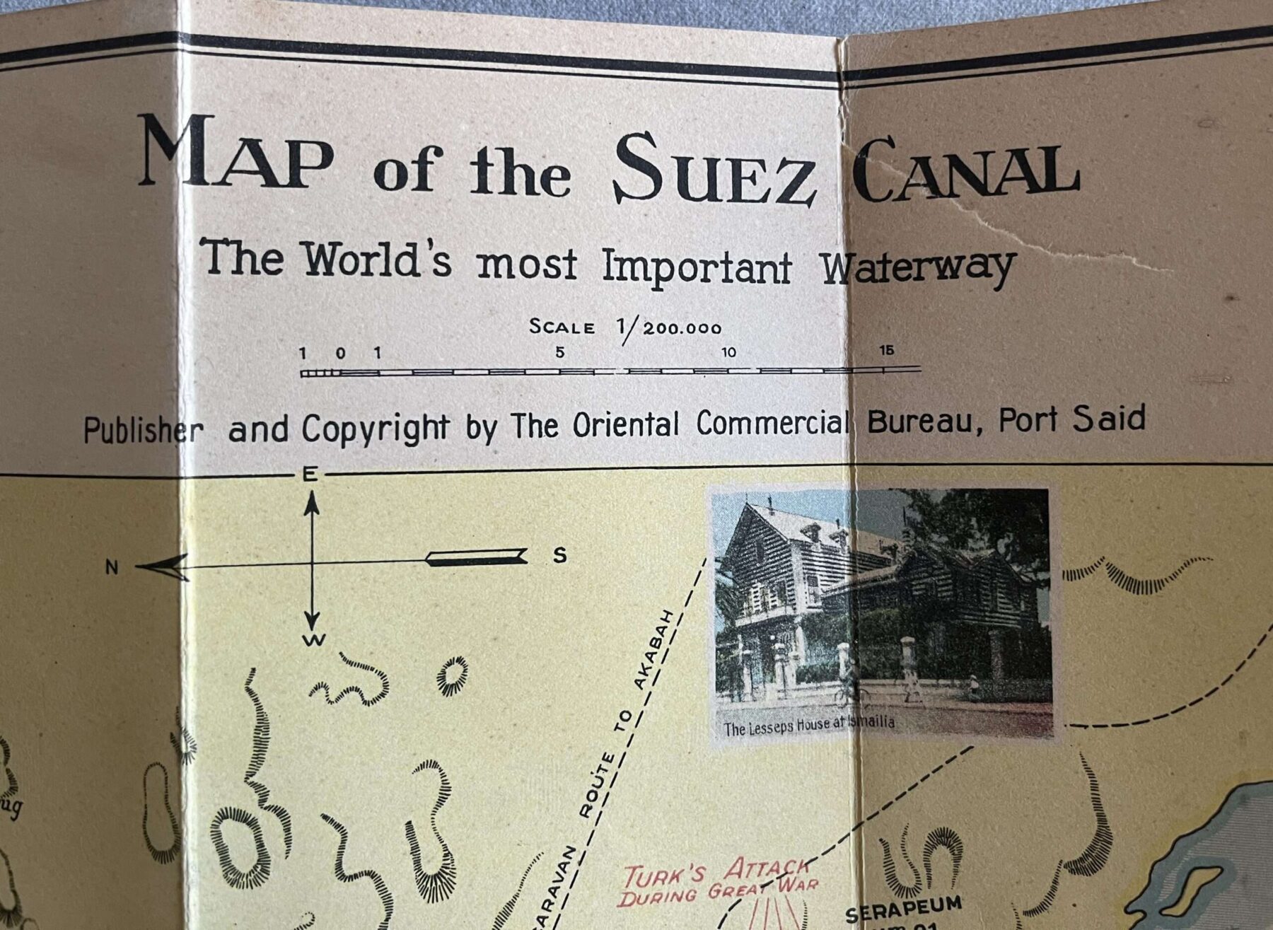
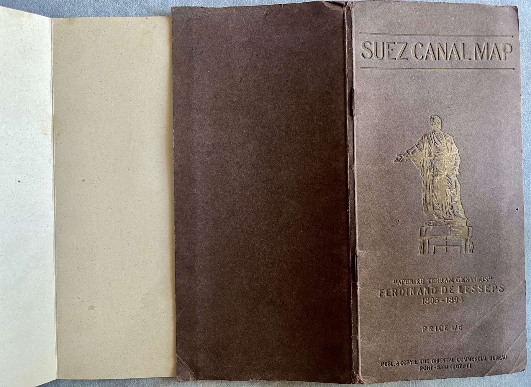
RARE, 1927, PANORAMA MAP OF SUEZ CANAL EGYPT, LITHOGRAPH, AUGUST RUSENBERG
240.00€
Description
1927
PANORAMA MAP
OF THE
SUEZ CANAL, EGYPT
with LITHOGRAPH
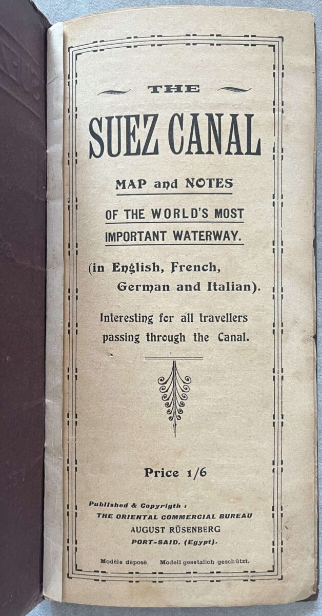
Quadrilingual (English, French, German, Italian) Pamphlet
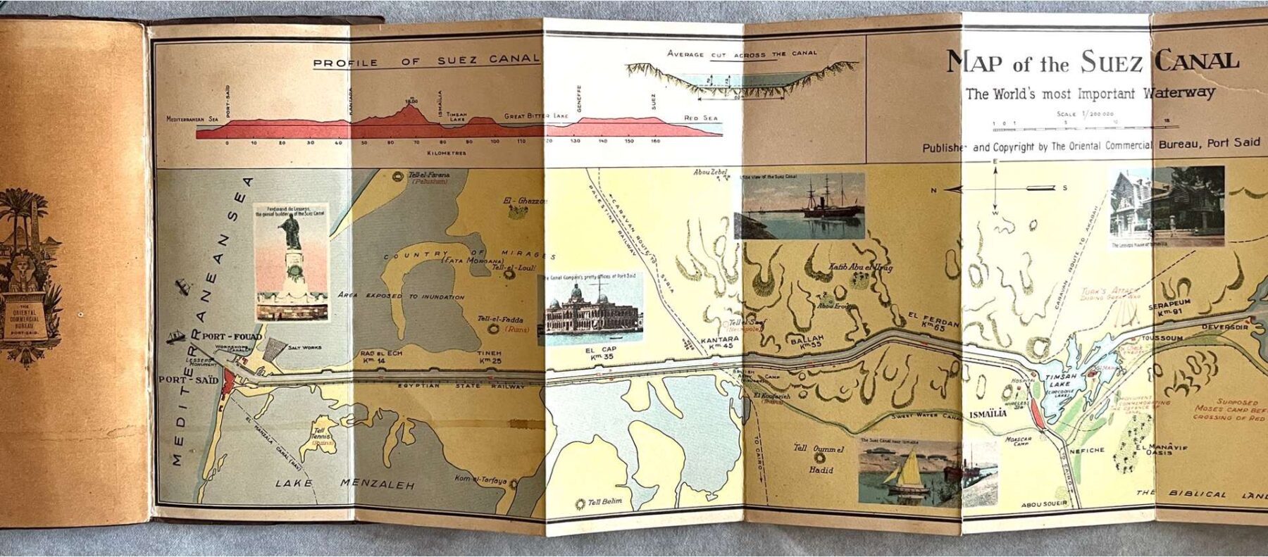
Includes a panorama map (only in English) of the canal
along with a profile Lithographic technic
Published by the Oriental Commercial Bureau August Rusenberg, Port Said
Dimensions: 23 x 84,5 cm folded: 23 x 11,5 cm forming booklet
In overall good+ condition, please refer to the images
The Suez Canal is an artificial sea-level waterway in Egypt, connecting the Mediterranean Sea to the Red Sea through the Isthmus of Suez and dividing Africa and Asia (and by extension, the Sinai Peninsula from the rest of Egypt). The 193.30-kilometer-long (120.11 mi) canal is a key trade route between Europe and Asia. In 1858, French diplomat Ferdinand de Lesseps formed the Compagnie de Suez for the express purpose of building the canal. Construction of the canal lasted from 1859 to 1869. The canal officially opened on 17 November 1869. It offers vessels a direct route between the North Atlantic and northern Indian oceans via the Mediterranean Sea and the Red Sea, avoiding the South Atlantic and southern Indian oceans and reducing the journey distance from the Arabian Sea to London by approximately 8,900 kilometers (5,500 mi), to 10 days at 20 knots (37 km/h; 23 mph) or 8 days at 24 knots (44 km/h; 28 mph) . The canal extends from the northern terminus of Port Said to the southern terminus of Port Tewfik at the city of Suez.
Additional information
| Languages | English, French, German, Italian |
|---|

